Peaks & views · Colorado
Knife Edge / San Juan high route zone
MI ≈790 · ≈10,674 ft
Dramatic exposed San Juan scenery
3,100-mile national scenic trail along the Continental Divide from the New Mexico-Mexico border to the Montana-Canada border, crossing five states and dozens of separately permitted park and forest units.
“3,100 miles along the spine of the Rockies from a New Mexico Army installation to a Canadian border crossing that needs a passport, five states and no single permit.”
Plan your Continental Divide Trail trip here, then get your permit from the agency.
Walk-up permit
CDT is issued by the agency rather than through a booking calendar. Their page has the current process and any dates.
Official permit pagePlanning another trip? See the permits we alert on.
3100 miles from Crazy Cook Monument (Southern Terminus) to Waterton Lake / Goat Haunt (Northern Terminus), over 15 passes.
Mile 0 at Crazy Cook Monument (Southern Terminus)
Cumbres Pass
MILE ≈827.5 OF 3100
21 of 21 places in this section
Peaks & views · Colorado
MI ≈790 · ≈10,674 ft
Dramatic exposed San Juan scenery
Terrain USGS 3DEP · Water USGS NHD · Trail © OpenStreetMap contributors
As of September 2026, CDT in Continental Divide Trail, Colorado requires a permit issued via walk-up. CDT rates 6/10 on PermitSnag's demand index. The CDT route covers 3100 miles, rated expert.
Get this permit in person at the trailhead or ranger station, or by phone.
Official permit page →This permit is not sold online. Confirm where and when it is issued (and any fee) at continentaldividetrail.org before your trip.
Walk-up permits are issued first-come, first-served. Where the agency sets a daily quota, popular trailheads can run out on weekends and holidays.
Popular trailheads fill fast. Know alternate routes or dates.
More on CDT: Live availability activityContinental Divide Trail permit itinerary
CDT permit fee: Varies by unit; no single trail-wide fee. Glacier NP wilderness permit and Blackfeet Nation permit both carry separate costs (see permitsAlongTrail).
3,100 miles along the spine of the Rockies from a New Mexico Army installation to a Canadian border crossing that needs a passport, five states and no single permit.
The Continental Divide Trail runs 3,100 miles from the Mexican border in New Mexico to the Canadian border in Montana, following the Rocky Mountains' spine across New Mexico, Colorado, Wyoming, Idaho and Montana. There is no single permit for the trail. Hikers assemble a chain of separate permits and rules from Glacier National Park, Yellowstone National Park, Rocky Mountain National Park, the Blackfeet Nation, national forests and BLM districts. Since 2025 the trail's own southern terminus sits inside an active U.S. Army installation, and crossing it requires federal clearance.
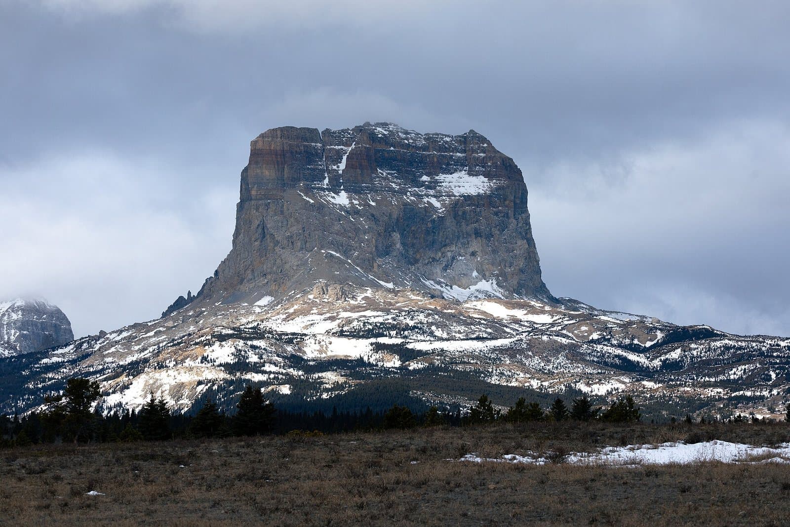
From Crazy Cook Monument on the New Mexico border the trail runs north through the Gila Wilderness, the San Juan Mountains and Grays and Torreys Peak in Colorado, the Great Divide Basin and Wind River Range in Wyoming, Yellowstone, and the Anaconda-Pintler and Bob Marshall wildernesses in Montana, finishing through Glacier National Park's wilderness zone to Waterton Lake or the seasonal Chief Mountain border crossing.
You are assembling a chain of separate permits from Glacier, Yellowstone, Rocky Mountain National Park, the Blackfeet Nation, national forests and BLM districts, not applying for one CDT permit, and since 2025 the southern terminus itself needs federal clearance to cross.
Best for: Experienced hikers with excellent fitness and relevant technical skills.
Recommended experience: Should have completed 10+ mile day hikes with significant elevation gain.
Most northbound hikers start in New Mexico in April or May and finish in Montana by September; a typical trip runs 5-7 months.
Trailhead (5,000 ft)
Today
44°
34°
Wed
42°
34°
40%
Thu
52°
30°
Fri
58°
34°
Sat
58°
37°
Sun
59°
35°
Mon
58°
37°
Emergency contacts, ranger station locations, and satellite communicator tips for CDT.
Bear canister requirements, approved container lists, and rental locations for this permit.
Gear Checklist: Required and recommended gear for CDT · Shuttle Services: Trailhead transportation options · Guide Services: Experienced wilderness guides
Some links may be affiliate links. Purchases support PermitSnag at no extra cost to you.
No. There is no single Continental Divide Trail permit. You need a Glacier National Park wilderness permit, a Blackfeet Nation Conservation/Recreation Use Permit, and separate permits inside Yellowstone and Rocky Mountain National Parks if your route enters their backcountry.
Only with federal clearance. The Continental Divide Trail Coalition states the monument now sits inside a New Mexico National Defense Area run by the U.S. Army, and hikers must submit ID and, if not a U.S. citizen, accept a government escort.
Yes. Valid travel and identification documents are required entering the U.S. or Canada, and hikers crossing at Waterton must check in through the CBP ROAM app before proceeding.
No. It is a seasonal port of entry, roughly mid-May through September, which is why some late-season hikers prefer it to the Waterton route for its lower elevation.
It covers the roughly 115-mile stretch inside Glacier, CDT miles 2923.5 to 3038, for overnight camping only.
The Continental Divide Trail Coalition states it can take 5 to 7 months to complete the entire 3,100-mile trail.
No active conditions reported
Sign in to report trail conditions.
No questions yet
Be the first to ask about CDT.
Build your full itinerary start to finish
Add your dates and get a day-by-day plan: what needs a permit, what gear to bring, and one link to share with your whole group to coordinate every step.
No permit needed to start
Google lets you pick the sites it highlights for you. Add PermitSnag and our permit pages get marked as one of yours in AI Overviews and AI Mode.
Takes less than a minute.