Summit
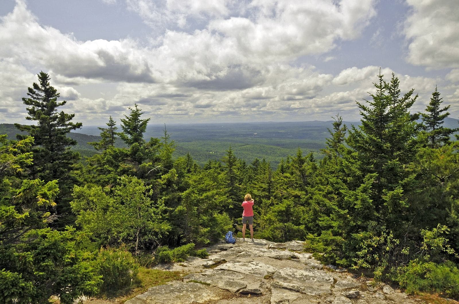
Pack Monadnock
MI ≈17.8 · ≈2,283 ft
Adjacent summit to North Pack Monadnock, connected by the trail; site of Miller State Park's auto road and summit.
The Wapack Trail runs about 21 miles across the Wapack Range in New Hampshire and Massachusetts, over a string of small summits. It is free and walk-up with no permit; this page gives sourced trip info.
“A 21.5-mile ridge walk across the Wapack Range in New Hampshire and Massachusetts.”
Plan your Wapack Trail trip here, then get your permit from the agency.
Walk-up permit
No permit is needed to hike the Wapack Trail. It is maintained by the nonprofit Friends of the Wapack as a free, walk-up day-use trail with no reservation system or booking page for our scanner to poll.
Official permit pagePlanning another trip? See the permits we alert on.
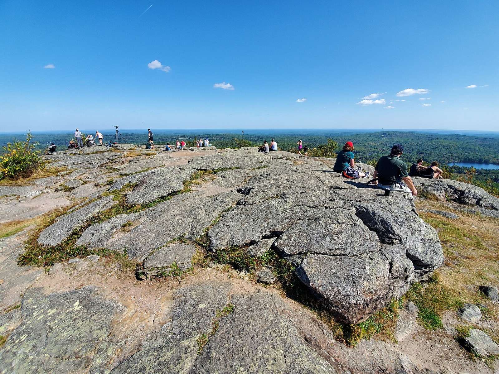
Mount Watatic (south terminus)
13 of 13 places in this section
Summit
MI ≈17.8 · ≈2,283 ft
Adjacent summit to North Pack Monadnock, connected by the trail; site of Miller State Park's auto road and summit.
Terrain USGS 3DEP · Water USGS NHD · Trail © OpenStreetMap contributors
As of September 2026, Wapack Trail in Wapack Trail, New Hampshire requires a permit issued via walk-up. Wapack Trail rates 3/10 on PermitSnag's demand index. The Wapack Trail route covers 21.5 miles.
No permit is needed to hike the Wapack Trail. It is maintained by the nonprofit Friends of the Wapack as a free, walk-up day-use trail with no reservation system or booking page for our scanner to poll.
Fees, hours and closures change. Confirm the current process at wapack.org before your trip.
Office hours move, ground closes, and popular trailheads get busy. Know an alternative route or date before you drive out.
More on Wapack Trail: Live availability activityWapack Trail permit itinerary
Wapack Trail permit fee: Free to hike.
A 21.5-mile ridge walk across the Wapack Range in New Hampshire and Massachusetts.
The Wapack Trail crosses the Wapack Range between Mount Watatic in Massachusetts and North Pack Monadnock in New Hampshire, over a string of small summits including Pack Monadnock, home to Miller State Park's summit auto road. It is free and walk-up with no permit.
From Mount Watatic, the trail climbs Nutting Hill, Emerson Hill, and Binney Pond, then New Ipswich Mountain, Kidder Mountain, and Barrett Mountain, passing the Windblown Cross-Country Ski Area near the midpoint, then Conant Hill, Roger Myrick Outlook, Burton Peak, and Holt Peak, then Temple Mountain and Pack Monadnock, before reaching North Pack Monadnock.
The trail links a string of small summits, from Mount Watatic in Massachusetts to North Pack Monadnock in New Hampshire, passing Pack Monadnock and Miller State Park's summit auto road along the way.
Best for: Experienced hikers with excellent fitness and relevant technical skills.
Recommended experience: Should have completed 10+ mile day hikes with significant elevation gain.
Trailhead (5,000 ft)
Today
59°
48°
Wed
62°
49°
Thu
65°
52°
Fri
79°
57°
23%
Sat
60°
42°
Sun
48°
39°
42%
Mon
56°
36°
35%
Emergency contacts, ranger station locations, and satellite communicator tips for Wapack Trail.
Bear canister requirements, approved container lists, and rental locations for this permit.
Gear Checklist: Required and recommended gear for Wapack Trail · Shuttle Services: Trailhead transportation options · Guide Services: Experienced wilderness guides
Some links may be affiliate links. Purchases support PermitSnag at no extra cost to you.
No permit is needed to day-hike or through-hike the Wapack Trail. It is maintained by the nonprofit Friends of the Wapack primarily as a day-use trail.
Camping options are minimal -- the trail is designed mainly for day use, with the only designated overnight camping at two primitive shelters near the Windblown Cross-Country Ski Area, roughly the trail's midpoint.
Friends of the Wapack, the trail's maintaining organization, describes it as a 21.5-mile hiking trail running north-south from Mt. Watatic in Ashburnham, Massachusetts, to North Pack Monadnock in Greenfield, New Hampshire.
The trail's own overview describes it as running over a half-dozen small mountains, none taller than 2,300 feet.
The southern end is Mt. Watatic in Ashburnham, Massachusetts; the northern end is North Pack Monadnock in Greenfield, New Hampshire.
It crosses the Massachusetts/New Hampshire border, running through Worcester County, Massachusetts, and Hillsborough County, New Hampshire.
No active conditions reported
Sign in to report trail conditions.
No questions yet
Be the first to ask about Wapack Trail.
Build your full itinerary start to finish
Add your dates and get a day-by-day plan: what needs a permit, what gear to bring, and one link to share with your whole group to coordinate every step.
No permit needed to start
Google lets you pick the sites it highlights for you. Add PermitSnag and our permit pages get marked as one of yours in AI Overviews and AI Mode.
Takes less than a minute.