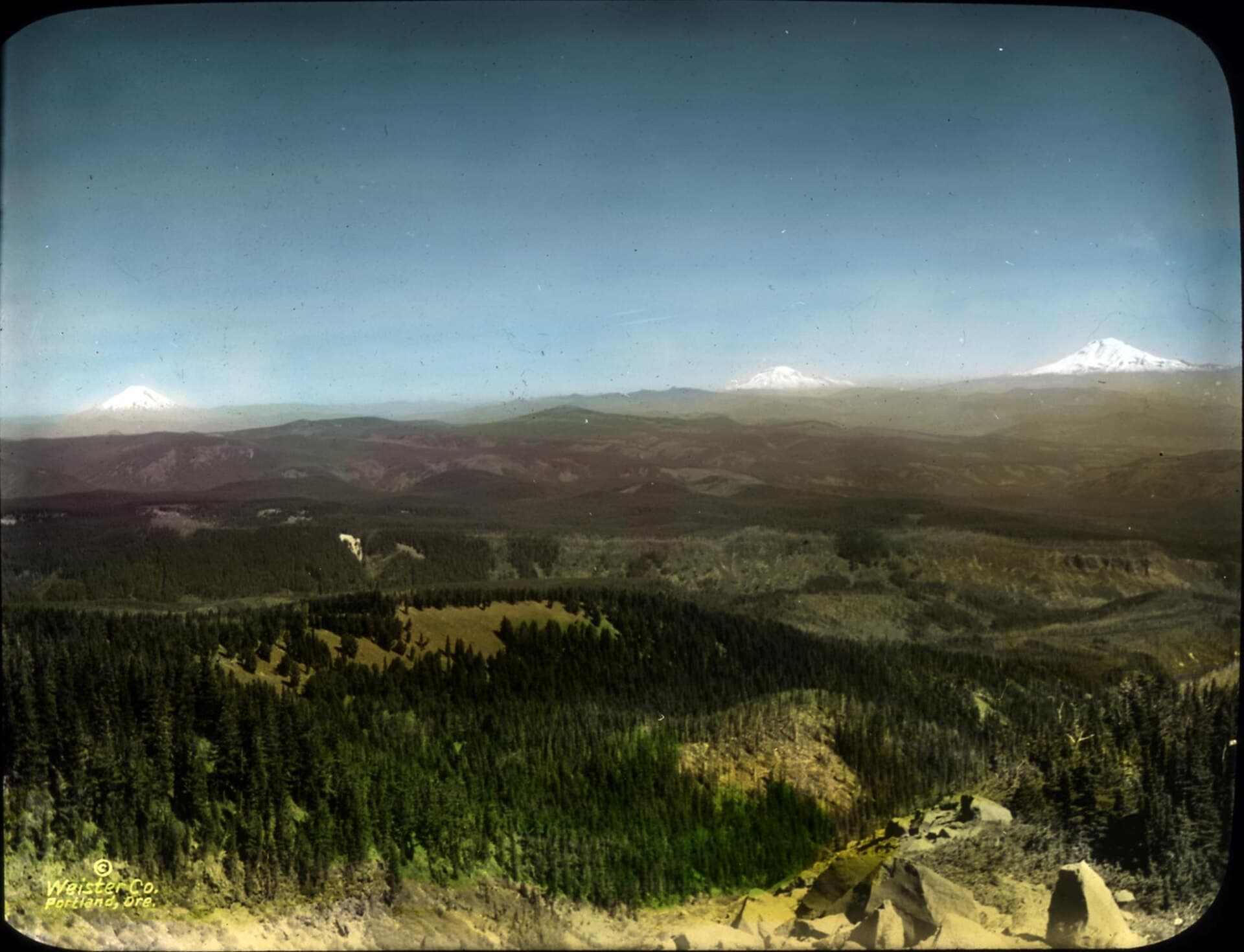
Mount Adams Climbing Pass Permit
Gifford Pinchot National Forest · Washington
Required above 7,000 feet from May 1 - September 30. A popular training climb for first-time mountaineers.
Plan your Gifford Pinchot National Forest trip here, then get your permit from the agency.
Plan your trip
How to get Mt. Adams
The Mt. Adams Climbing Pass is a Recreation.gov Activity Pass with no limit, so it cannot sell out. Buy it before you drive up, and print or download it first: there is very little phone signal around Trout Lake. Below 7,000 feet, and outside May to September, self-issue a free wilderness permit at the trailhead instead.
Official permit pagePlanning another trip? See the permits we alert on.
How to get a Mt. Adams permit
- Type
- Mountaineering
- Location
- WA
Step 1: Create a Recreation.gov account
Sign up at Recreation.gov if you don't have an account. Have your payment info ready.
Step 2: Know the release schedule
Permits release on a rolling basis. Check the release time for your dates.
Step 3: Be ready when permits drop
Log in a few minutes early. Have your dates, group size, and payment ready to go.
Mt. Adams pro tips
- Start early for frozen snow conditions
- Bring plenty of water - it's a long slog
- Purchase permit online before your climb
More on Mt. Adams: Live availability activityWhen Mt. Adams permits open up
How much a Mt. Adams permit costs
Mt. Adams permit fee: $20 per person.
The Mt. Adams climb
Mt. Adams landmarks
- 1Trailhead
Starting point for South Climb. Elevation: 5,781 ft.
- 2Lunch Counter
Common turnaround for day climbers
- 3Summit
Summit of Mt. Adams at 12,281 ft.
About this permit
The South Climb route is non-technical but demanding - essentially a long snow slog gaining 6,500 feet. Ideal for first-time mountaineers. Note: Only the western half is open to recreation; the eastern half is Yakama Nation land and closed.
Mt. Adams climb highlights
- Long day of snow climbing
- Non-technical but physically demanding
- 6,500 feet of elevation gain
Summit information
Mt. Adams
Climbing RoutesClick for details
Technical Gear Required
How hard the Mt. Adams climb is
- Physical DemandFitness and endurance required4/5
- Technical SkillClimbing, scrambling, or specialized skills3/5
- NavigationRoute finding and trail clarity4/5
- CommitmentDifficulty of bailing out mid-route4/5
Best for: Fit hikers with mountain experience ready to step into mountaineering.
Recommended experience: Glacier travel training required. Must be competent with crampons, ice axe, and rope work.
When to climb Mt. Adams
Weather Forecast
Trailhead (5,000 ft)
Today
58°
50°
Wed
62°
50°
Thu
70°
48°
Fri
71°
50°
Sat
72°
52°
Sun
77°
52°
Mon
70°
50°
Mt. Adams rules, gear and safety
Rules & regulations
- 01Climbing pass required above 7,000 feet May-Sept
- 02Human waste must be packed out
- 03Eastern half is closed (Yakama Nation)
Mountaineering resources
Guide Services
Find authorized guide services and mountaineering schools for this peak.
Authorized guide services:
- The ranger station has the current list
- Verify NPS/USFS authorization
Gear Rentals
Find rental shops near the trailhead.
Required gear you can rent:
- Crampons
- Ice axe
- Trekking poles
Route Conditions
Real-time route status, snow levels, and climbing conditions.
Current conditions include:
- Route status (open/closed/caution)
- Snow level elevation
- Crevasse and glacier conditions
- Recent trip reports
Avalanche Forecast
Check avalanche conditions before winter and spring climbs.
Avalanche info includes:
- Current danger level
- Avalanche problems (wind slab, persistent slab)
- Travel advice
- Links to regional avalanche centers
Safety & planning
Emergency Info
Emergency contacts, ranger station locations, and satellite communicator tips for Mt. Adams.
Food Storage
Bear canister requirements, approved container lists, and rental locations for this permit.
Gear Checklist: Required and recommended gear for Mt. Adams · Shuttle Services: Trailhead transportation options · Guide Services: Experienced wilderness guides
Some links may be affiliate links. Purchases support PermitSnag at no extra cost to you.
Mt. Adams FAQ
How do I get a Mt. Adams permit?
Mt. Adams is issued directly by the agency. The Mt. Adams Climbing Pass is a Recreation.gov Activity Pass with no limit, so it cannot sell out. Buy it before you drive up, and print or download it first: there is very little phone signal around Trout Lake. Below 7,000 feet, and outside May to September, self-issue a free wilderness permit at the trailhead instead. Bring backup dates and check their page for the current process.
When is the best time to visit Mt. Adams?
Season dates are on the agency's page. Weekdays have better availability than weekends.
How competitive is the Mt. Adams permit?
This permit has a demand score of 5/10, making it moderately competitive.
What if I can't get a Mt. Adams permit?
The agency awards this permit directly. Bring backup dates and check the official page for the current process and any closures.
Mt. Adams route conditions and trip reports
Trail Conditions
No active conditions reported
Sign in to report trail conditions.
Questions
No questions yet
Be the first to ask about Mt. Adams.
Trip Reports
Write ReportAlternatives to a Mt. Adams permit
Where to stay near Mt. Adams
- Paradise Creek campgroundGifford Pinchot National Forest
- Govt Mineral Springs Guard Sta campgroundGifford Pinchot National Forest
- Beaver CampgroundGifford Pinchot National Forest
- All Washington campgrounds
Plan the full trip, not just the permit
Build your full itinerary start to finish
Add your dates and get a day-by-day plan: what needs a permit, what gear to bring, and one link to share with your whole group to coordinate every step.
No permit needed to start
One tick helps us more than you’d think
Google lets you pick the sites it highlights for you. Add PermitSnag and our permit pages get marked as one of yours in AI Overviews and AI Mode.
Takes less than a minute.