Trailhead
Border Route Trail West Trailhead (Round Lake / Gunflint Trail)
MI 0 · ≈1,744 ft
Western terminus on the Gunflint Trail, connecting to the Kekekabic Trail.
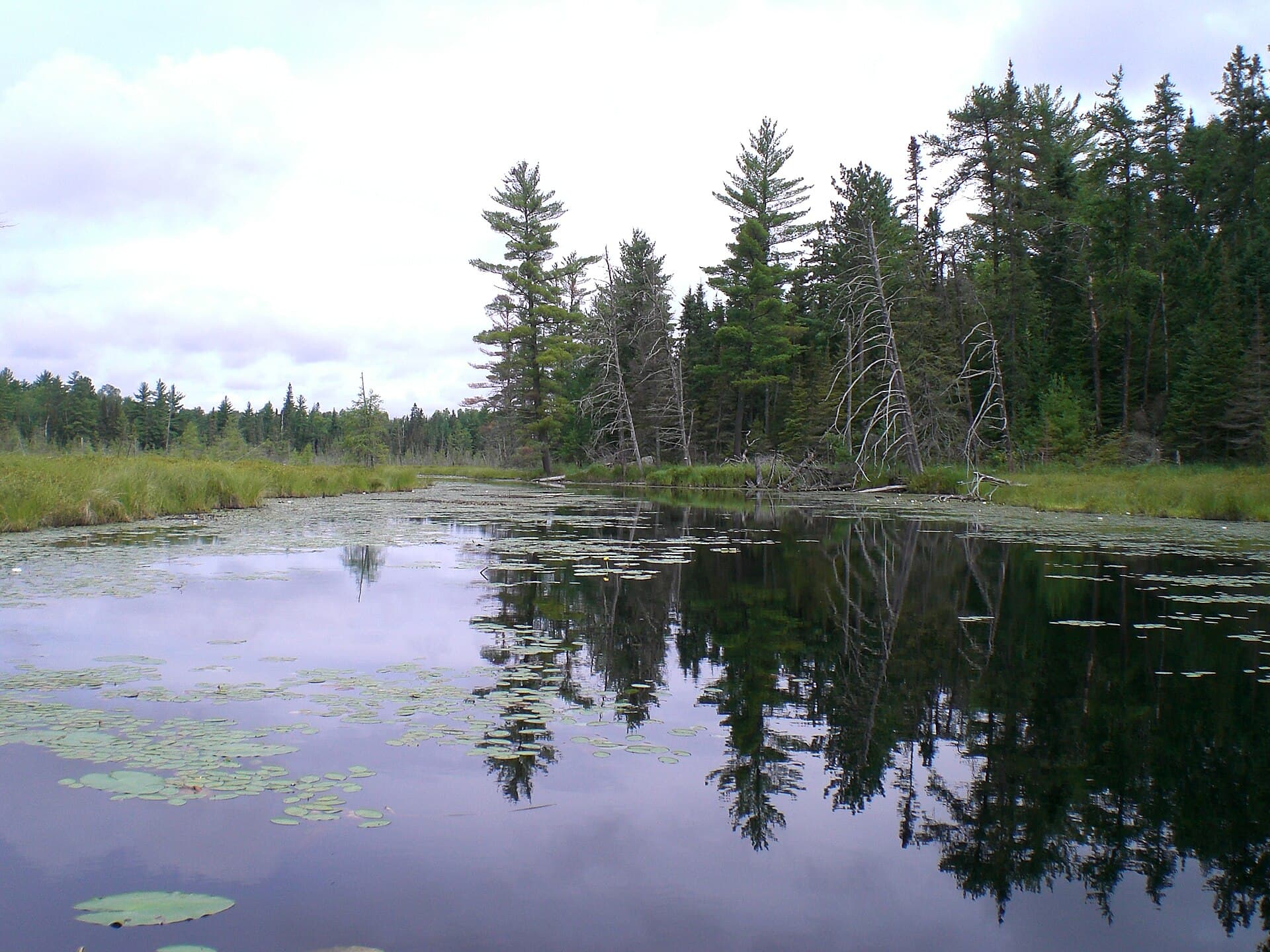
Boundary Waters Canoe Area Wilderness · Minnesota
A 53-mile trail along the Canadian border in the Boundary Waters Canoe Area Wilderness, from the Gunflint Trail east to McFarland Lake, connecting the Kekekabic Trail to the Superior Hiking Trail.
Get an alert when Border Route Trail opens on your dates.
70% of the openings our scanner caught on Border Route Trail were gone within 10 minutes.
Border Route Trail West Trailhead (Round Lake / Gunflint Trail)
Western terminus on the Gunflint Trail, connecting to the Kekekabic Trail.
10 of 10 places in this section
Trailhead
MI 0 · ≈1,744 ft
Western terminus on the Gunflint Trail, connecting to the Kekekabic Trail.
Terrain USGS 3DEP · Water USGS NHD · Trail © OpenStreetMap contributors
As of September 2026, Border Route Trail in Boundary Waters Canoe Area Wilderness, Minnesota requires a permit issued via reservation. Border Route Trail rates 6/10 on PermitSnag's demand index. Cancelled Border Route Trail permits are re-released on the booking system, and PermitSnag alerts you the moment one opens. The permit season for Border Route Trail runs May 1 (quota permit season opens) through September 30 (quota permit season ends; self-issued permits October 1 to April 30). The Border Route Trail route covers 53 miles, rated strenuous.
Sign up at Recreation.gov if you don't have an account. Have your payment info ready.
Permits release on a rolling basis. Check the release time for your dates.
Log in a few minutes early. Have your dates, group size, and payment ready to go.
If your dates are sold out, people cancel all the time. Set up PermitSnag alerts to catch openings instantly.
More on Border Route Trail: Live availability activityWhen Border Route Trail permits open upBorder Route Trail BWCAW permit itinerary
Border Route Trail permit fee: $16/adult + $8/child per person per trip (May 1 to September 30 quota season) plus a $6 non-refundable reservation fee; free self-registration October 1 to April 30.
Best for: Experienced hikers with excellent fitness and relevant technical skills.
Recommended experience: Should have completed 10+ mile day hikes with significant elevation gain.
Trailhead (5,000 ft)
Backcountry Tips
Today
67°
56°
69%
Wed
70°
56°
Thu
61°
42°
Fri
55°
34°
Sat
54°
39°
42%
Sun
48°
33°
42%
Mon
49°
30°
Emergency contacts, ranger station locations, and satellite communicator tips for Border Route Trail.
Bear canister requirements, approved container lists, and rental locations for this permit.
Gear Checklist: Required and recommended gear for Border Route Trail · Shuttle Services: Trailhead transportation options · Guide Services: Experienced wilderness guides
Some links may be affiliate links. Purchases support PermitSnag at no extra cost to you.
Yes. The Border Route Trail Association is direct about it: permits are required year round for everyone entering the Boundary Waters Canoe Area Wilderness, which the entire trail runs through. From May 1 to September 30 that means a paid, quota-limited reservation; the rest of the year it is a free self-registration at a trailhead kiosk.
Entry point #81 (west), #82 (center) or #83 (east), depending where you start.
The Forest Service's Border Route Trail page gives 53 miles; most hikers plan 5 to 7 days for the full route.
The west end meets the Kekekabic Trail, and the east end connects toward the Superior Hiking Trail. All three, together, are counted as part of the North Country National Scenic Trail corridor.
No active conditions reported
Sign in to report trail conditions.
No questions yet
Be the first to ask about Border Route Trail.
No trip reports yet
Be the first to share your experience at Border Route Trail.
Write the First ReportBuild your full itinerary start to finish
Add your dates and get a day-by-day plan: what needs a permit, what gear to bring, and one link to share with your whole group to coordinate every step.
No permit needed to start
Google lets you pick the sites it highlights for you. Add PermitSnag and our permit pages get marked as one of yours in AI Overviews and AI Mode.
Takes less than a minute.