Lottery10/10
JMT Yosemite
The legendary 211-mile trail from Yosemite Valley to Mount Whitney. Multiple Don...
View John Muir Trail — Yosemite Entry permit details and availabilityPermitSnag checks Recreation.gov every 2-3 minutes. When a cancellation posts, we send an alert so you can book before the spot is gone.

Required permit to climb the famous cables on Half Dome. One of the most sought-after day hikes in America.
“Stand atop one of America's most iconic granite monoliths, 4,800 feet above Yosemite Valley floor.”
Get reminders when the Half Dome lottery opens, before the deadline, and when results post — plus optional cancellation alerts after results.
Get reminders when the Half Dome lottery opens, before the deadline, and when results post — plus optional cancellation alerts after results.
Two ways to land it
We watch Half Dome for cancellations 24/7 and alert you when a spot opens so you can book before it's gone.
Start free cancellation watchApply with a crew. Each person multiplies your combined odds (solo ~25%). We coordinate invites, deadlines, and outcomes.
See plans to start a poolMost crews do both: pool for the lottery, watch for cancellations.
Better odds with a crew
Half Dome is a lottery — solo odds run about 25%. Every friend who applies adds another entry. Five of you, each applying: about 76%.
One of you runs the pool (Pro or a $12 alert). Everyone else joins free.
Late June through early September offers the most reliable conditions. July and August have warm temperatures but also afternoon thunderstorm risk. September has fewer crowds and stable weather but shorter days.
Sign up at Recreation.gov if you don't have an account. Verify your email and add payment info ahead of time.
Submit your application between March 1 and March 31. Apply for multiple dates to increase your odds.
Results are typically announced Mid-April. Check your email and your Recreation.gov account.
Permits get cancelled daily. Peak cancellation times are 24-48 hours before the trip date.
Get instant notifications when cancellations happen. We check availability every 2-3 minutes, 24/7.
Cables typically down. Waterfalls spectacular but snow may block upper trail.
Fitness and endurance required
Climbing, scrambling, or specialized skills
Steep dropoffs and fall potential
Route finding and trail clarity
Difficulty of bailing out mid-route
Well-conditioned hikers comfortable with significant exposure and heights. Must be able to maintain grip strength for the 400-foot cable ascent.
Should have completed at least one 10+ mile, 3,000+ ft elevation gain hike. Prior cable or scrambling experience helpful but not required.
Those with fear of heights, limited upper body strength, or anyone who has not completed a strenuous 10+ mile hike before.
Half Dome is one of the most demanding day hikes in any National Park—a 14 to 17-mile round trip that climbs nearly 5,000 feet from the valley floor to the summit at 8,846 feet. The hike passes two of Yosemite's most spectacular waterfalls before ascending the granite shoulder of Half Dome itself.
The final 400 feet are ascended using steel cables bolted into the rock, allowing hikers to climb what would otherwise require technical rock-climbing gear. This cable section is only accessible when the cables are 'up,' typically from late May through mid-October.
Half Dome has been a symbol of Yosemite since the park's founding. Its distinctive shape—carved by glaciers over millions of years—has inspired artists, photographers, and adventurers for over 150 years. For many, summiting Half Dome represents a personal milestone and a connection to the wilderness vision of John Muir.
From Happy Isles, the trail splits into two paths that reunite above Nevada Fall. The Mist Trail is shorter but brutal—600 granite stairs rising through the spray of Vernal Fall, each step more slippery than the last. The John Muir Trail switchbacks more gently, offering views of Liberty Cap's granite dome.
Above Nevada Fall, the forest closes in as you traverse Little Yosemite Valley. The crowds thin as you climb through silent pine forests toward the shoulder of Half Dome. Then the trees fall away, and you see it: the Sub Dome rising like a wall, and beyond it, the cables ascending into the sky.
The Sub Dome's steep switchbacks are merely a prelude. The cables themselves stretch 400 feet up polished granite at a 45-degree pitch. You grip cold steel, plant your feet on wooden planks, and pull. Pause. Breathe. Pull again. And then, suddenly, you're standing on top of the world.
The final ascent up the cables is unlike anything else in hiking. Your arms burn as you pull yourself up the 45-degree granite face, pausing at each wooden plank to catch your breath and steady your nerves. The exposure is intense—a sheer drop on either side with nothing but your grip and the steel cables between you and a very long fall. But when you crest the summit and step onto that broad granite dome, the entire Sierra stretches before you in an infinite sea of peaks and valleys.
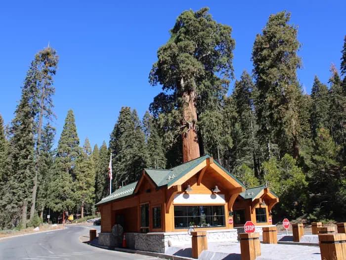
The primary and most popular starting point for Half Dome, located at the eastern end of Yosemite Valley at Shuttle Stop #16.
No direct parking at trailhead. Use the Half Dome Village day-hiker lot (0.5 miles) or Curry Village (0.75 miles). Lots fill by 7am on summer weekends.
Take the free Yosemite Valley shuttle to Stop #16. Shuttles run every 12-22 minutes from 7am to 10pm.
Half Dome Village (Curry Village) has a general store, showers, and dining 0.75 miles from the trailhead.
Required and recommended gear for Half Dome
Trailhead transportation options
Browse all shuttlesExperienced wilderness guides
Browse all guidesSome links may be affiliate links. Purchases support PermitSnag at no extra cost to you.
~25%
estimated success rate
Get detailed lottery statistics and tips. Sign up to track this permit.
Apply with a crew to multiply your combined odds, and let auto win-detection tell you the moment you win — you never have to check Recreation.gov. Pool and auto win-detection are on Pro or a $12 permit alert.
Apply these for the best odds
Opens the official lottery — you submit your entry. We never automate or store your Recreation.gov login.
Full lottery odds & strategy →12,453 permits and 8,294 campsites secured by PermitSnag users
Half Dome permits use a lottery system. The lottery typically opens March 1. PermitSnag sends lottery open, deadline, and results reminders; you can also enable cancellation alerts if spots open later.
The season typically runs Late May to October. Weekdays generally have better availability than weekends.
This permit has a demand score of 10/10, making it extremely competitive. We recommend having backup dates and using PermitSnag's cancellation alerts.
Cancellations happen daily. Set up alerts with PermitSnag to get notified the moment a spot opens up. We check availability every 2-3 minutes, 24/7.
Sunset from Glacier Point offers the most iconic Half Dome photography, with alpenglow turning the granite face pink, orange, and red.
Midday light on the summit provides even illumination for the 360-degree panorama. For the classic Ansel Adams view, shoot from Valley View at sunrise with Merced River reflections.
For summit photography, arrive by first light (5am start) or stay until the last shuttle—midday crowds thin significantly after 2pm on the summit.
Consider these alternatives if your preferred dates aren't available.
A 14.5-mile hike with a knife-edge summit ridge that offers views looking DOWN on Half Dome from 1,000 feet above. Many argue the views are superior to Half Dome itself.
No cables or permit hassle, but requires Tioga Road access (seasonal). Less crowded but equally strenuous.
A 10-mile hike offering face-to-face views of Half Dome from directly across the valley. Includes optional side trip to Indian Rock natural arch.
Much less crowded and no permit needed, but you're looking at Half Dome rather than standing on it.
A 13-16 mile valley-rim loop passing Glacier Point and three major waterfalls (Illilouette, Nevada, and Vernal Falls).
No permit required and spectacular waterfall views, but no summit experience.
Nearby campgrounds to complete your Half Dome trip
Permit Directory
Find permits for day hikes, overnight backpacking, thru-hikes, canyoneering, and river trips across federal and state lands.
Day-use, overnight, and wilderness permits at America's crown jewels
Sierra Nevada, Lost Coast, and backcountry access
Red rock canyons, slot canyon permits, and desert wilderness
USFS wilderness areas with quota systems
Multi-day point-to-point traverses and epic long-distance trails
Multi-day rafting and river access permits
Backcountry camping and trail permits
High-altitude summit permits and technical climbing routes